
Bring the Age of
Discovery to Your Wall
The Great Explorers Maps Collection
The Maps
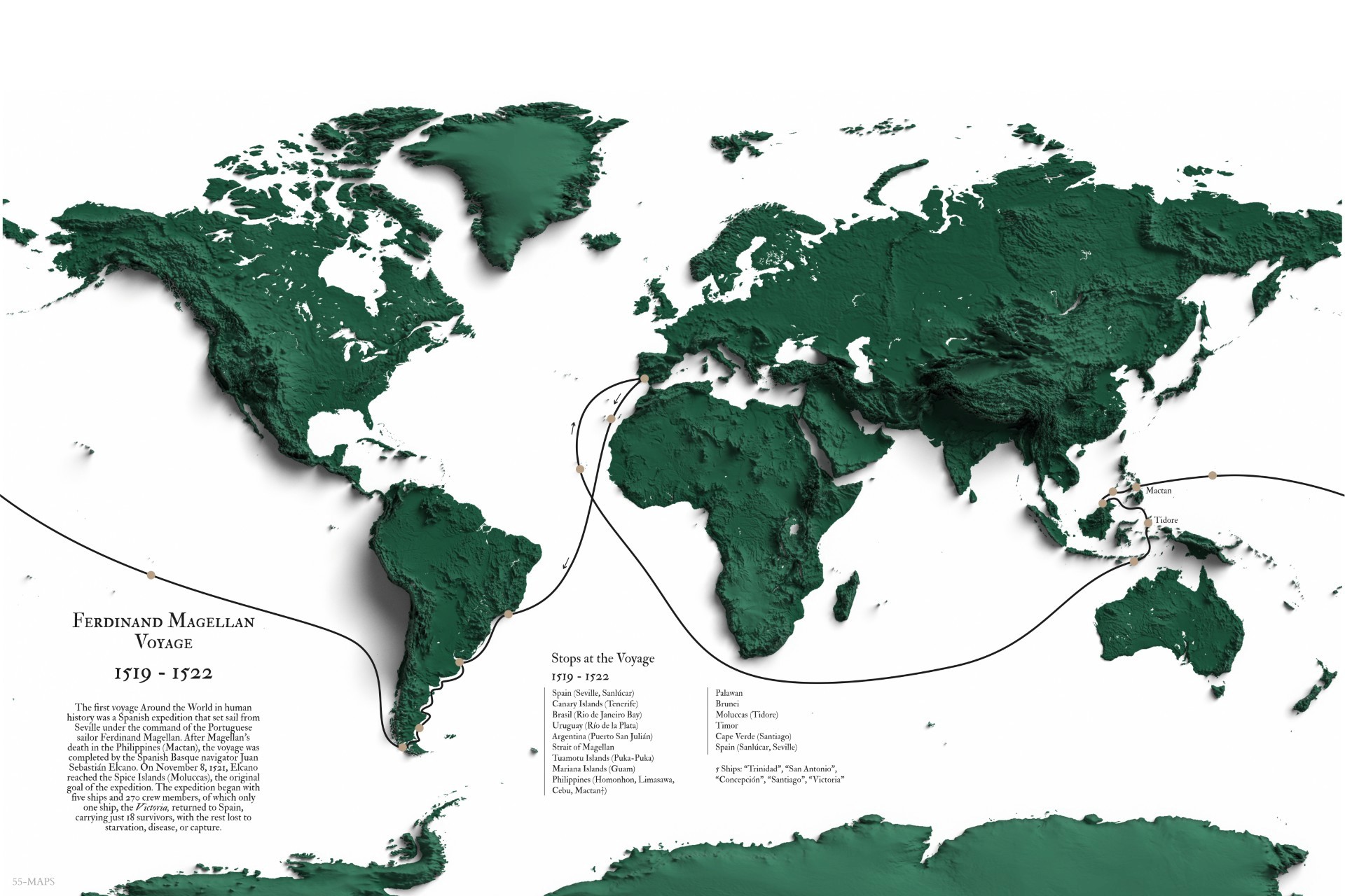
Ferdinand Magellan’s Voyage (1519-1522)
Follow the first voyage around the world – a thrilling odyssey across uncharted waters that changed our understanding of the world forever.
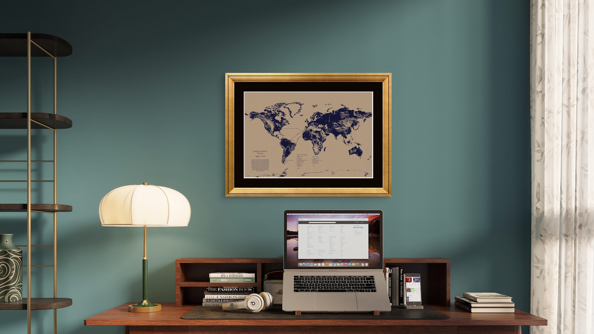
Amerigo Vespucci’s Voyages (1499-1502)
Sail alongside the man who realized that the “New World” was an entirely new continent – and gave it his name: America.

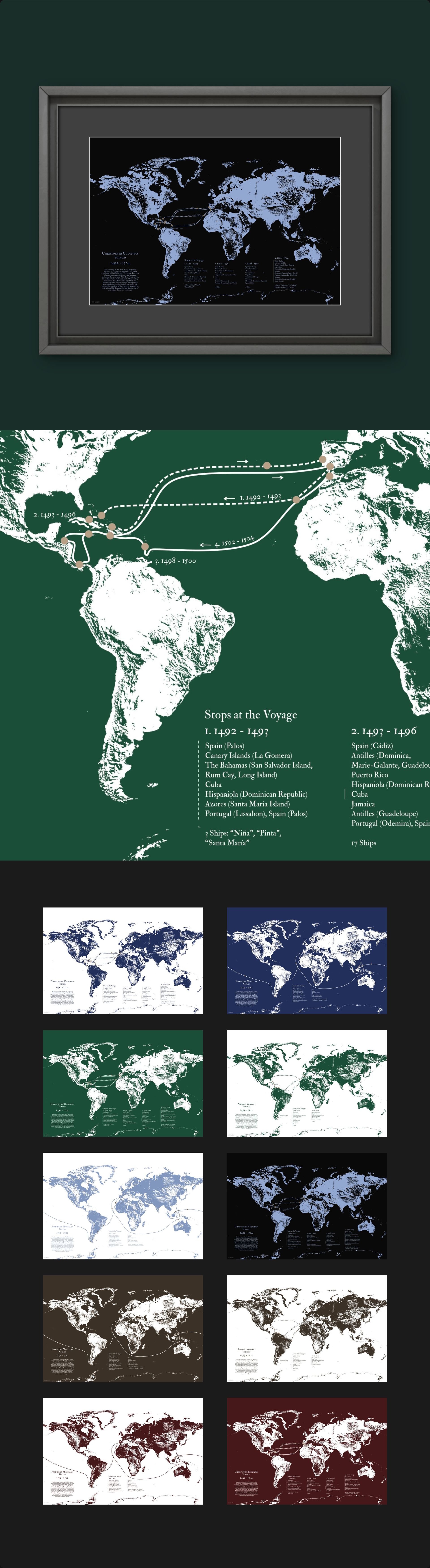
Christopher Columbus’s Voyages (1492-1504)
Trace the historic voyage across the Atlantic in search of a westward route to Asia, which marked the beginning of European exploration in the Americas

Editions
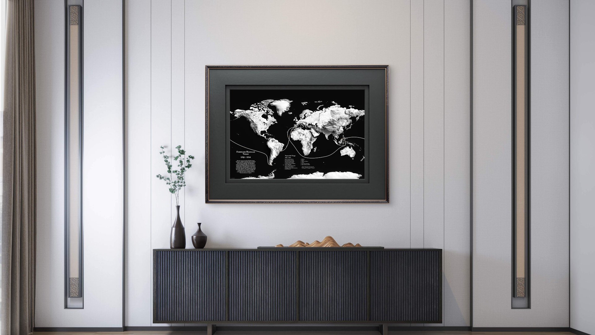
"3D" Edition Pack
3 explorer maps
6 color variations each
18 maps total
Bold, modern, and visually striking. The world map is rendered with a subtle 3D relief effect, where continents appear slightly raised with soft shadows and depth. This gives the geography a sculpted, almost tactile feel - as if the land is emerging from the surface.
Perfect for contemporary interiors, this edition adds a sense of dimension and clarity that immediately catches the eye.

"Vintage" Edition Pack
3 explorer maps
6 color variations each
18 maps total
Classic and timeless, inspired by antique cartography. The maps feature a rich, grainy texture with subtle imperfections that mimic aged paper and historical prints. Slight wear, faded tones, and warm color palettes give each piece the feeling of a map discovered in an old archive.
Perfect for those who love history, this edition brings an authentic, old-world character to your space.

"Modern" Edition Pack

3 explorer maps
10 color variations each
30 maps total
Clean, minimal, and highly versatile. The design focuses on sharp lines, balanced composition, and refined color palettes, stripping away unnecessary detail for a sleek, contemporary look.
Ideal for modern homes and creative workspaces, this edition blends seamlessly into any interior while still telling a powerful story of exploration.
Map Details
Detailed routes of the voyages:

Map Details
Description of the explorer’s journey:

Map Details
Descriptions of each stop along the route and the names of ships which took part in the voyages:

Historical Maps Pack
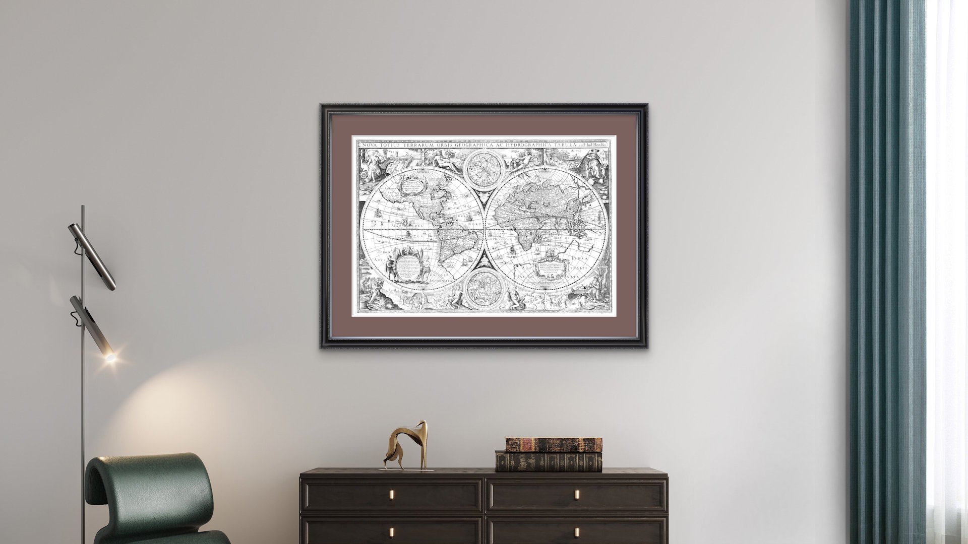
A curated collection of 9 original historical maps, showing the age of discovery through the eyes of the cartographers who shaped how the world was understood after the great voyages of Christopher Columbus, Amerigo Vespucci, and Ferdinand Magellan.
Includes:
Early World maps by European and Asian cartographers, reflecting how global knowledge expanded after Columbus reached the Americas.
Historic maps of North America, including the fascinating period when California was depicted as a separate island, which reveals how exploration and myth intersected.
Detailed depictions of the Asian continent and the Spice Islands (Moluccas) - the desired destination that drove Magellan’s circumnavigation.
Carefully enhanced and retouched to preserve their antique character while improving clarity and print quality.

About The Great Explorers
Map Collection
Discover the legendary voyages of Ferdinand Magellan, Amerigo Vespucci, and Christopher Columbus through beautifully designed, high-resolution wall maps crafted for modern interiors.
Perfect for any space where curiosity and creativity thrive – whether it's your living room, your hallway, or your working space – these maps add a sense of adventure and timeless style to your walls.
The maps are available in three stunning visual styles – "3D", "Vintage" & "Modern" - so you can match the artwork to your personal style.
What You Get
Three legendary voyage maps of Christopher Columbus, Amerigo Vespucci, and Ferdinand Magellan,
Each with:
- a description of the explorer’s journey
- the detailed routes of the voyages
- descriptions of each stop along the route
- the names of ships which took part in the voyagesthree visual styles: 3D, Vintage, Modern
Multiple color variations per style
Additional original historical maps
Additional special maps
Up to 77 maps, depending on your reward
Print at home or with any professional print service
For print up to 72 × 48 in (180 × 120 cm)
In standard 3:2 format to fit in every frame
Ultra-high-resolution files: 12000 × 8000 px
(The resolution and format of historical maps and special maps may vary.)Digital product - instant access after the campaign ends
Turning maps into
visual experiences
About 55-maps
55-maps is a creative studio dedicated to designing unique, high-quality maps that bring history, exploration, and storytelling into modern spaces - combining accurate narratives with striking design, from bold contemporary styles to carefully crafted vintage aesthetics.
We work with historical cartography, restoring and enhancing old maps with great attention to detail. Each historical piece is carefully retouched to preserve its authentic antique character while improving clarity and print quality, making it suitable for modern display without losing its original spirit.
Additionally, we develop custom map projects, transforming journeys, routes, and historical narratives into beautifully designed visual pieces tailored for specific ideas and audiences.
If you have an idea for a map, a journey you’d like to visualize, or historical maps you’d like to restore and enhance, we’d love to hear from you. We’re always open to new creative projects.
Contact